JLR Emblem
Municipal Infrastructure & Planning

Municipal engineering has been an integral part of our practice since JLR was first founded.

In the years since, we have completed successful projects with numerous municipalities ranging in population density and geographic size. Our dedicated Municipal Infrastructure & Planning team possesses an incredible breadth of expertise and provides specialized solutions for diverse clients in this sector.

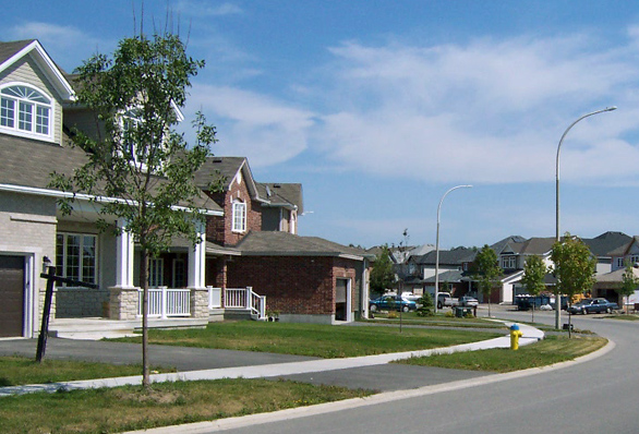
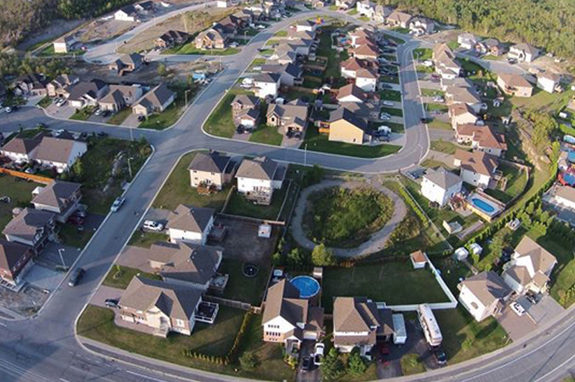
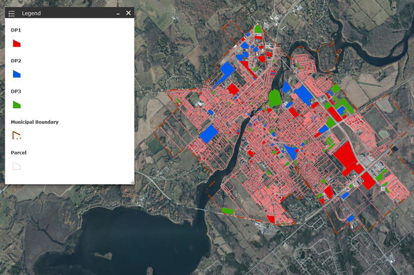
With offices across Ontario and a robust network of local experts with key community insight, we’re perfectly situated to provide your projects with the advantage of local presence and authentic engagement. We work closely with your team and stakeholders in your area to develop a comprehensive understanding of your infrastructure, its end users, and their diverse needs.

This process provides our team with the nuanced local knowledge we need to deliver designs that work well for you today and that both anticipate and accommodate your objectives for the future.


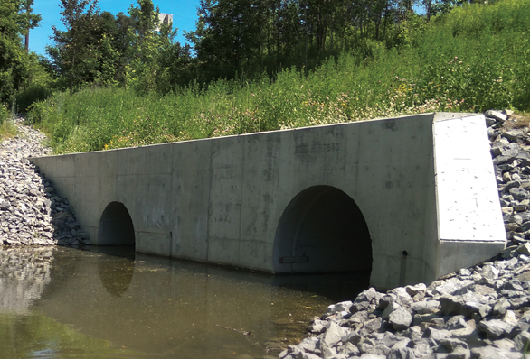
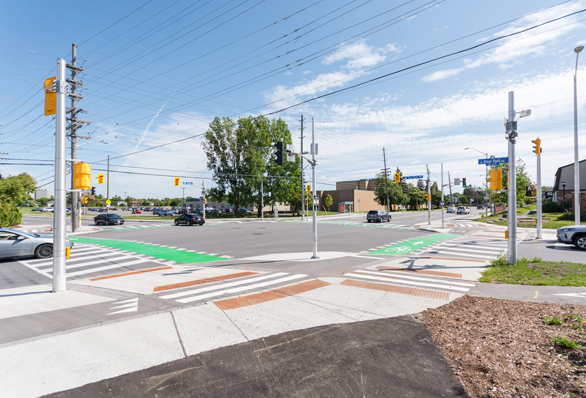
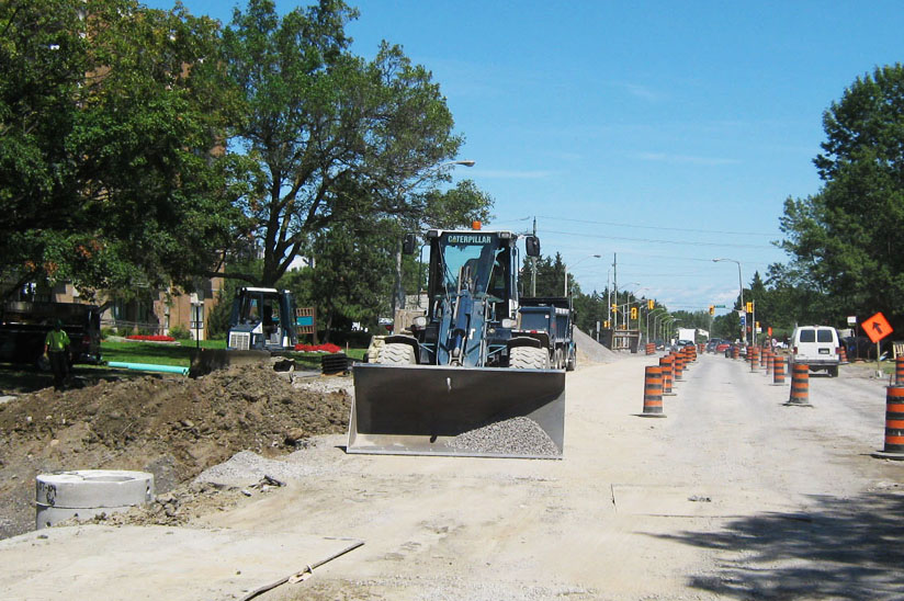
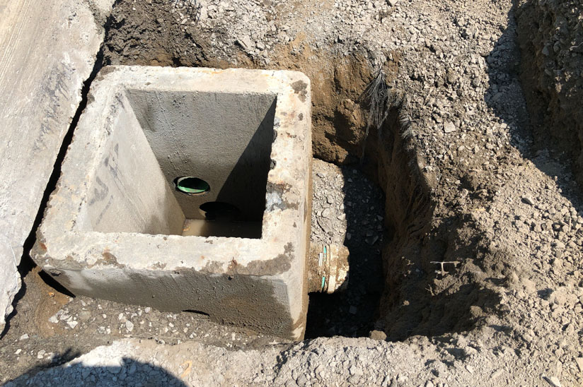
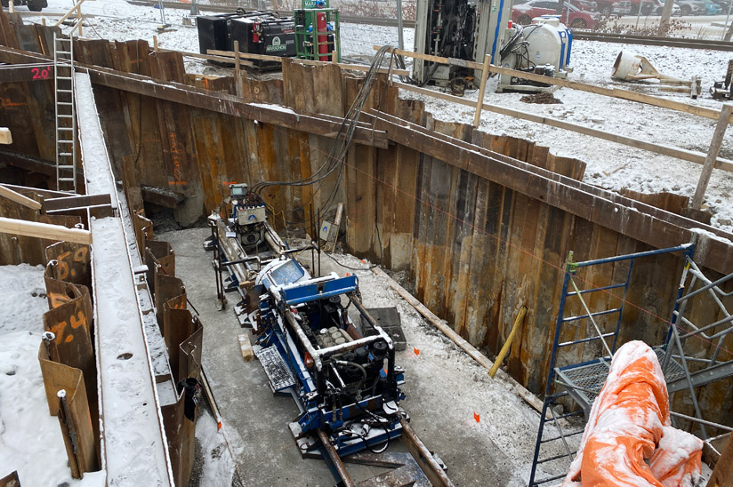
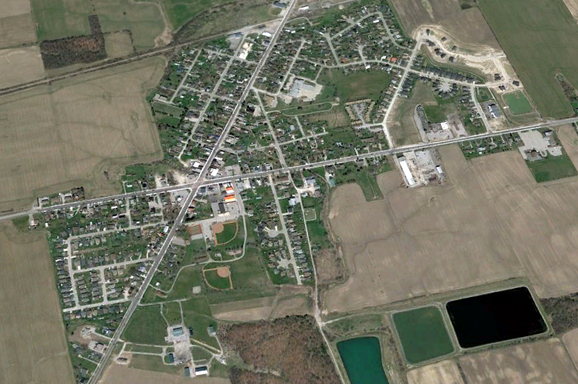
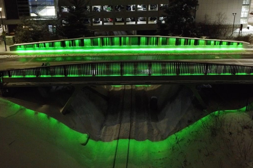
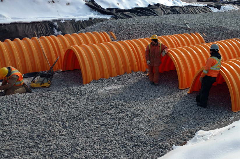
Municipal Infrastructure Engineering

Engineering that supports a livable community built on long-term results.

Read More
Land Development & Site Plan Engineering

Safe and reliable infrastructure planning.

Read More
Planning & GIS Services

Supporting projects and navigating policy.

Read More
Transportation Structures

Creating the infrastructure to support active transportation.

Read More
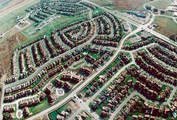
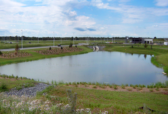
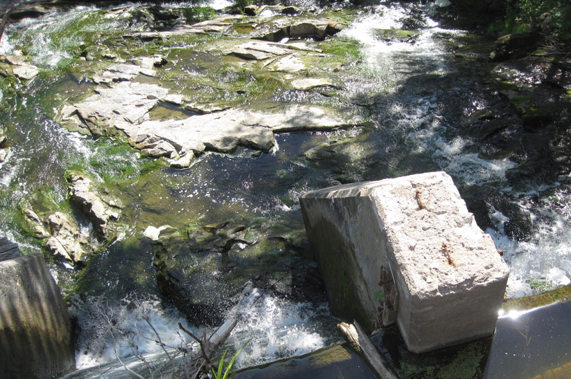
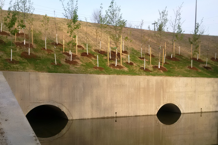
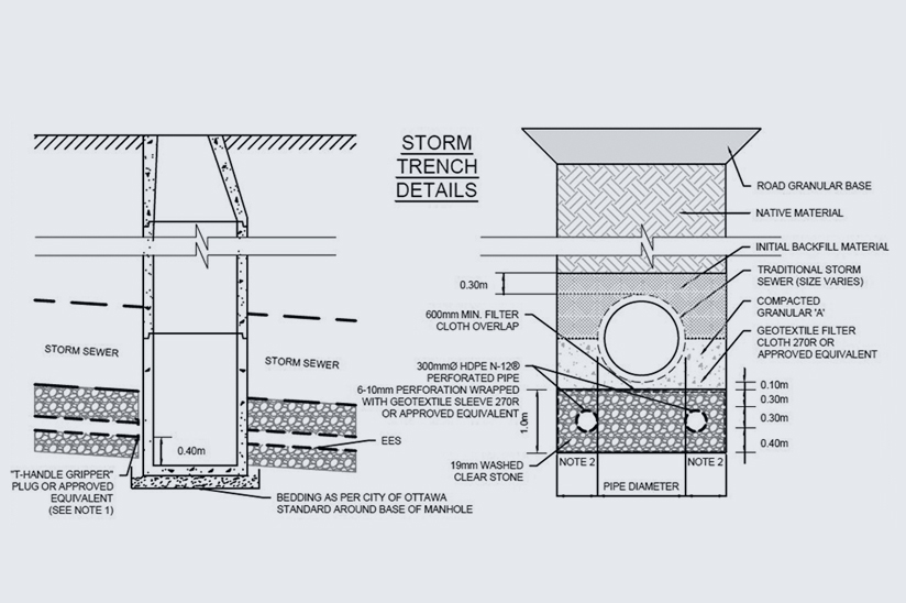
Water Resources, Stormwater Planning & Engineering

Economically and environmentally sustainable water resource planning

Read More

Our Projects

Construction equipment resurfacing road
Municipal Infrastructure & Planning

Meadowlands Drive Reconstruction

Backhoe digging hole
Municipal Infrastructure & Planning

Gilmour Street Trunk Sewer

Watermain reconstruction
Municipal Infrastructure & Planning

Integrated Road, Sewer, and Watermain Reconstruction

underground street infrastructure
Municipal Infrastructure & Planning

Dell Street Infrastructure Upgrades

Aerial view of Hazelton subdivision
Municipal Infrastructure & Planning

Hazelton Subdivision

Satellite view of Mississippi Mills Municipal
Municipal Infrastructure & Planning

Mississippi Mills Municipal GIS

View looking over a dam into a creek
Municipal Infrastructure & Planning

Broomes Creek Culvert and Dam MCEA

Google earth view of Carleton Place Development
Municipal Infrastructure & Planning

Carleton Place Development Permit Application

Lake in Haliburton Country
Municipal Infrastructure & Planning

Haliburton County Shoreline Policy Review

Map of Navan Road project
Municipal Infrastructure & Planning

3079 Navan Road

Map of Bobolink Ridge location
Municipal Infrastructure & Planning

360 Bobolink Ridge

Photo of Dynes Road and Prince of Wales Drive Reconstruction
Municipal Infrastructure & Planning

Dynes Road and Prince of Wales Drive Reconstruction

Photo of Elgin County bridge
Municipal Infrastructure & Planning

Elgin County OSIM Program

Green lights light up bridge at night
Municipal Infrastructure & Planning

O-Train Campus Bridge Renewal

Photo of Prince of Wales Culvert
Municipal Infrastructure & Planning

Renewal of Prince of Wales Bridge Culverts

Wateridge Village logo
Municipal Infrastructure & Planning

Wateridge Village Phases 3 and 5

Drawing of Harmony Subdivision
Municipal Infrastructure & Planning

Harmony Subdivision

Photo of Quinn’s Pointe Stage 2 construction
Municipal Infrastructure & Planning

Quinn’s Pointe Stage 2 Servicing Strategies

TEAM SPOTLIGHT

Jane Wilson, Municipal Infrastructure & Planning Market Chief