Client: Town of Carleton Place
Location: Carleton Place, Ontario
Size: N/A
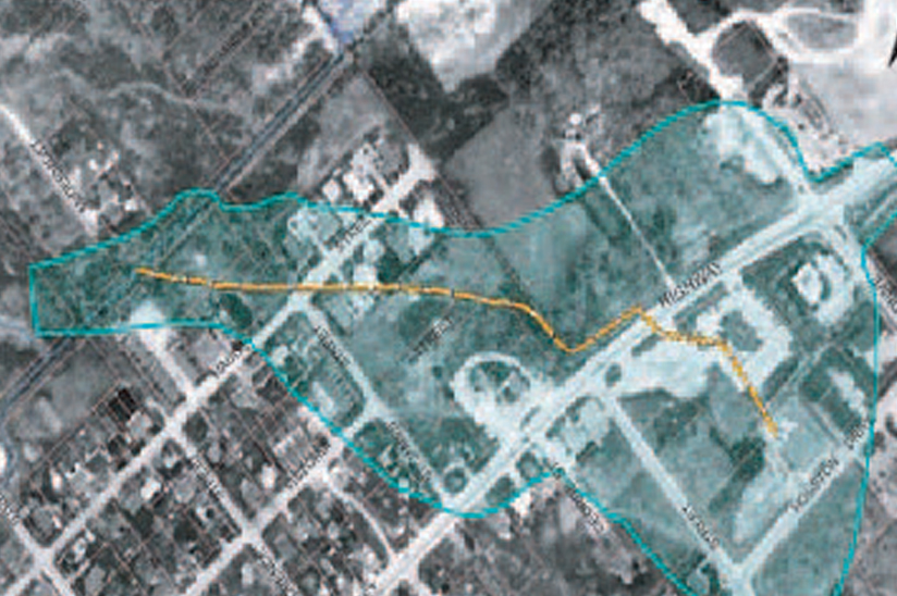
JLR was retained by the Town of Carleton Place (Town) to create a geographic information system (GIS) application to help the Planning and Development Department maintain development permit applications. JLR worked with Town staff to develop an editing workflow using the Town’s existing ArcGIS Online platform. Using the browser-based mapping application staff can add new development permit applications and revise existing applications. The applications layer is colour coded allowing staff to visually differentiate the different application types. Included in the application is a link to the development application documentation folder located on Town servers giving staff quick access to background information. The development permit application is fully integrated with the Town’s current GIS including on the Town’s public facing GIS mapping application. The public view contains only non-sensitive information and can be accessed through the Town’s website. JLR provides ongoing GIS support to staff to help increase efficiencies and leverage their GIS system.


